Cartography
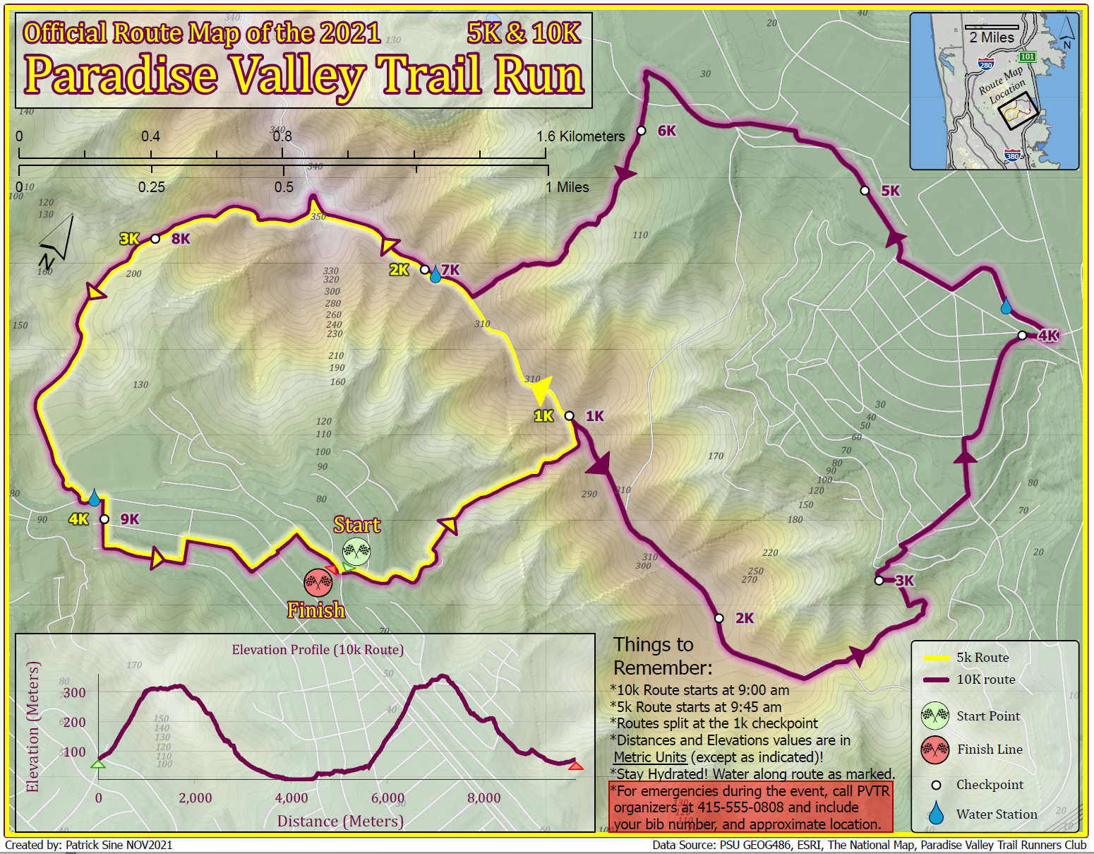
Static maps, created using ESRI ArcPro
Appreciation for geography is inseparable from the story of my life; I have lived in four American states, and in six countries on four continents. During my undergraduate studies at University of Colorado I discovered and quickly fell in love with GIS and the many ways it can be used to communicate information and perform useful analysis. While completing my graduate certificate at Penn State, this appreciation and admiration for GIS has grown to encompass knowledge in many new tools and application; primarily in web map publishing, web application building, and geospatial programming. I currently serve as the Senior GIS Analyst for Luzerne County, Pennsylvania. Luzerne is the seat of so much history in the region of Northeastern Pennsylvania, and it's a pure joy to work in an office with original maps recording that history dating back to the 1700s, still able to be referenced for use today. Located in the beautiful Luzerne County Corthouse, please stop by and check out our vast selection of local maps and mapping services open to the public. Beyond GIS I have a passion for outdoor sports and recreation, especially bicycling and skiing. Living in Boulder, Colorado ignited that passion for cycling – a passion which I was able to later exercise when I managed a bike store for several years, and where I also had the joy of working as a professional bike mechanic. Skiing was introduced to me at age seven, and has steadily grown into one of my biggest passions in life. While previously a member of the Professional Ski Instructors Association of America, in 2021 I earned my white cross from the National Ski Patrol and began contributing to the sport as an Alpine Ski Patroller in the beautiful Pocono Mountains of Pennsylvania – the very place I learned to ski all those years ago. “Life is like riding a bicycle. To keep your balance you must keep moving.” -Albert Einstein

Static maps, created using ESRI ArcPro
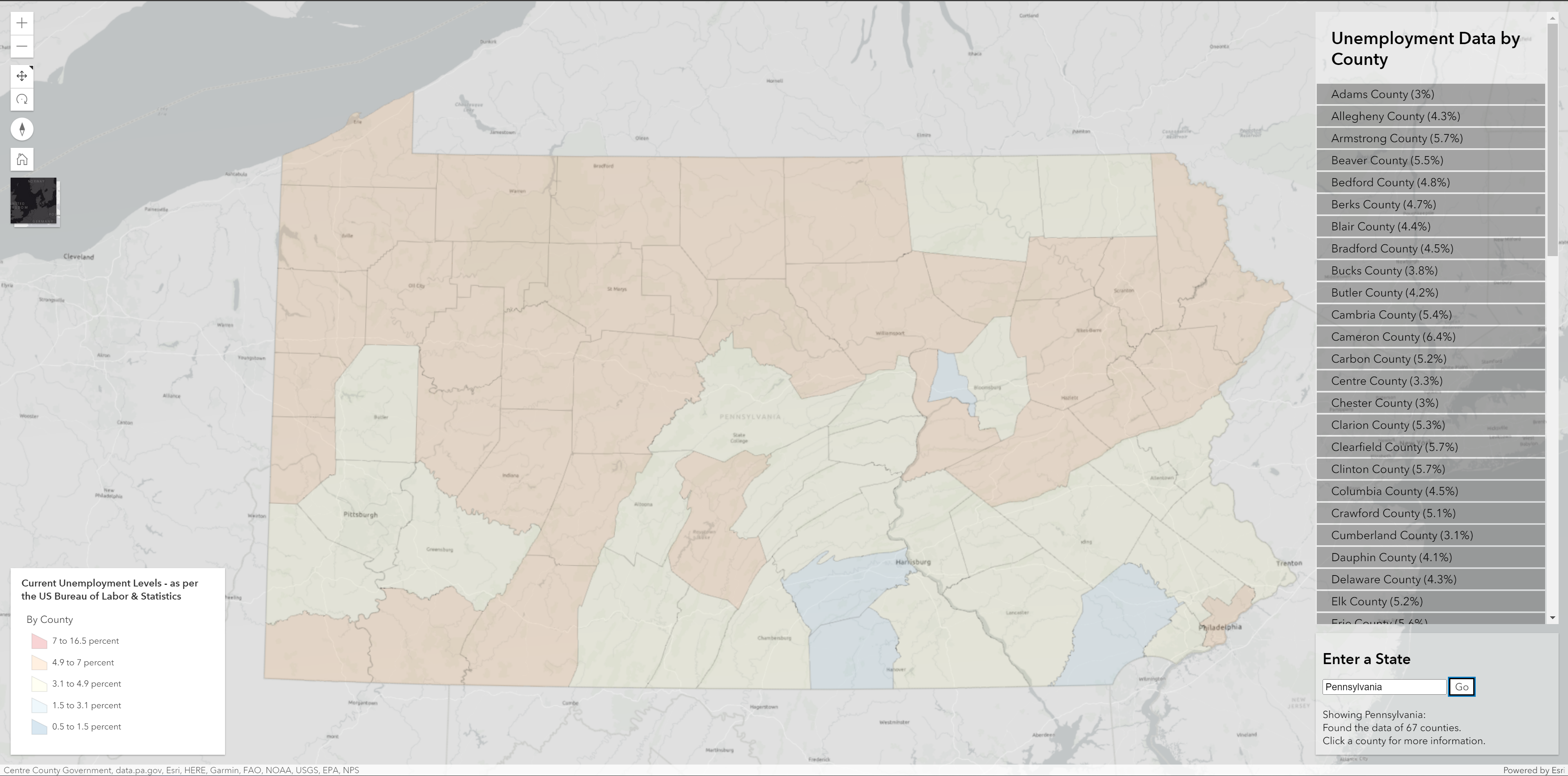
Web apps created using the ESRI JavaScript API
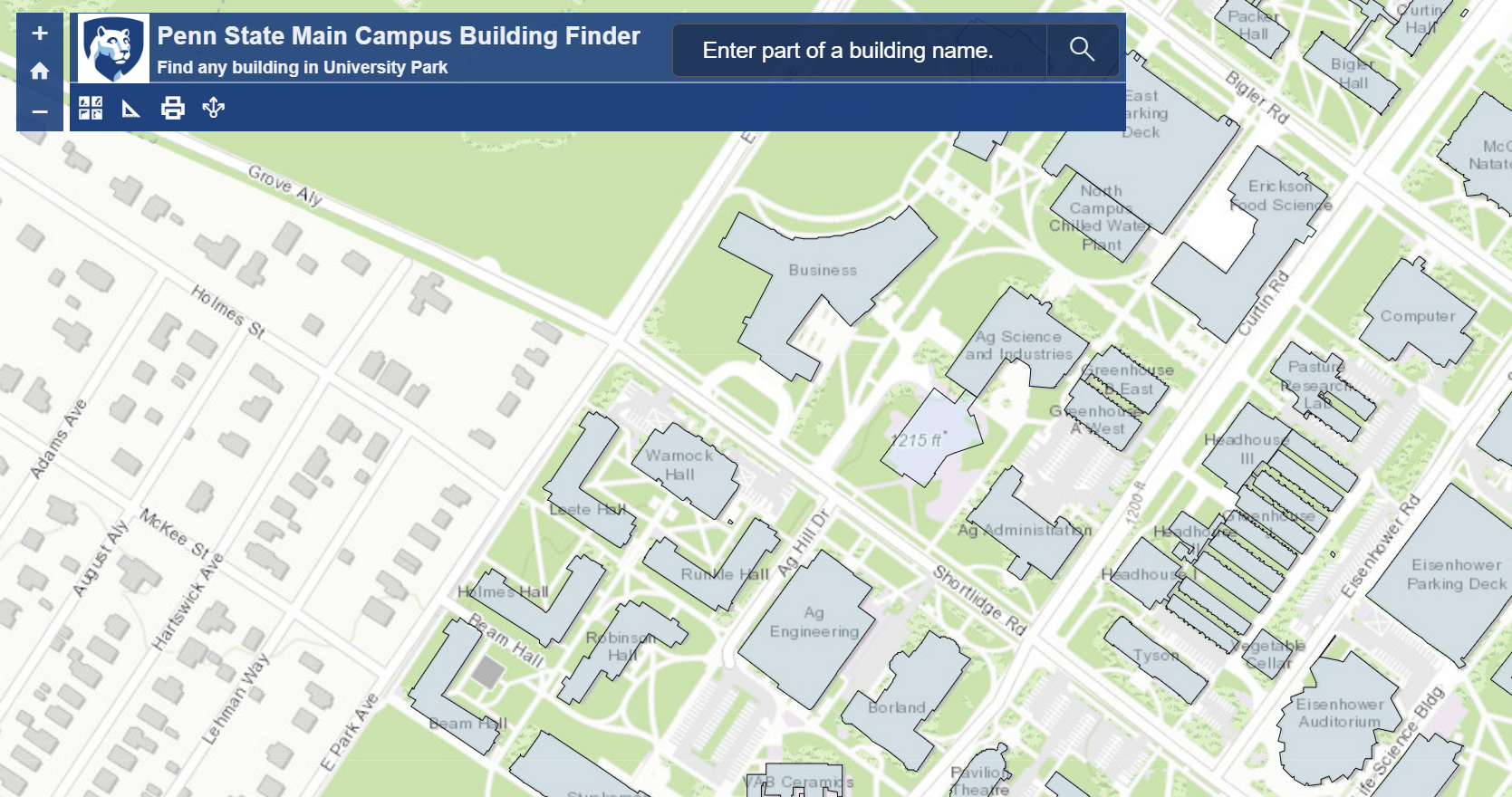
Maps and Interactive Apps (May require ArcOnline account)
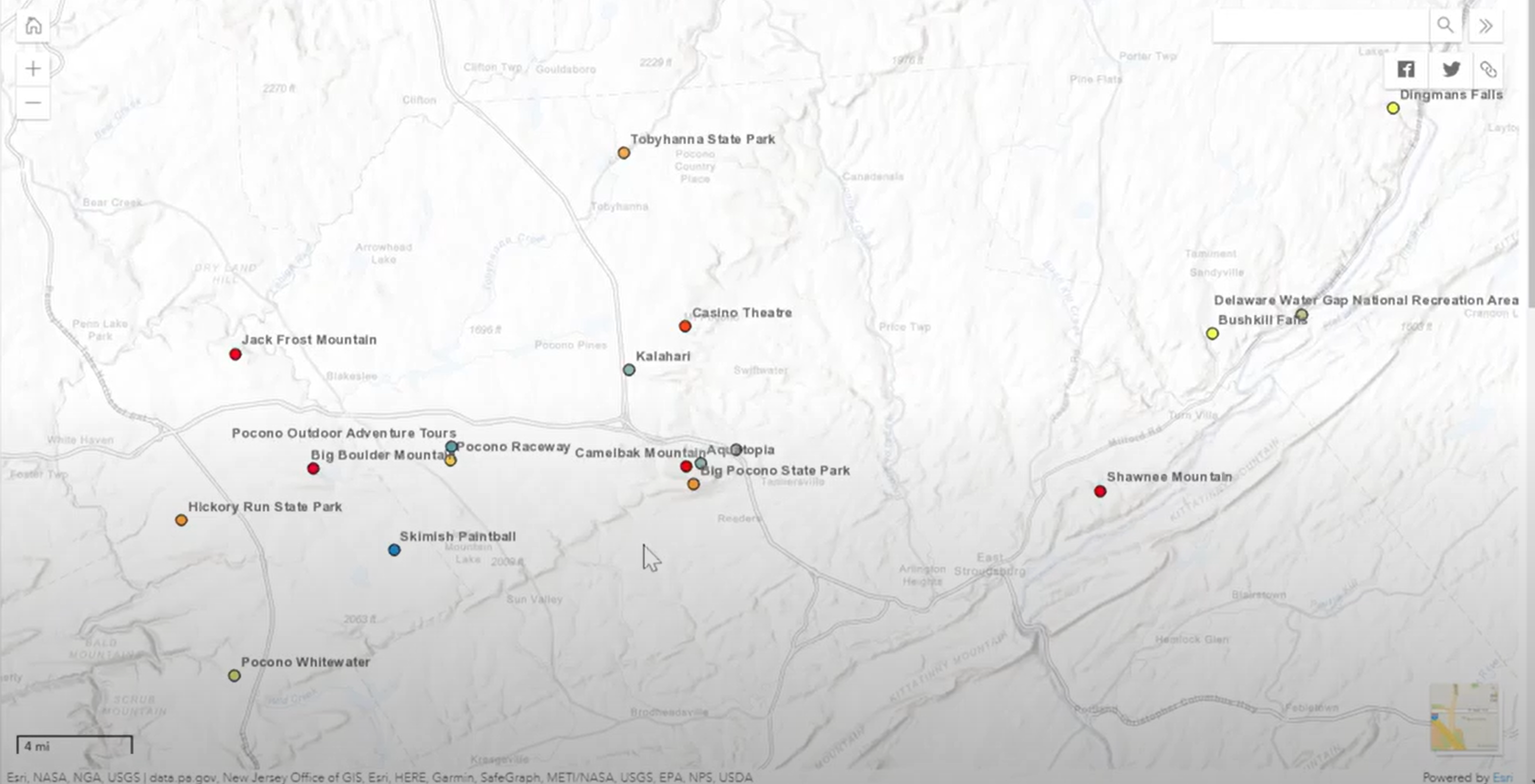
Pocono Recreation Web App (Demo Video)
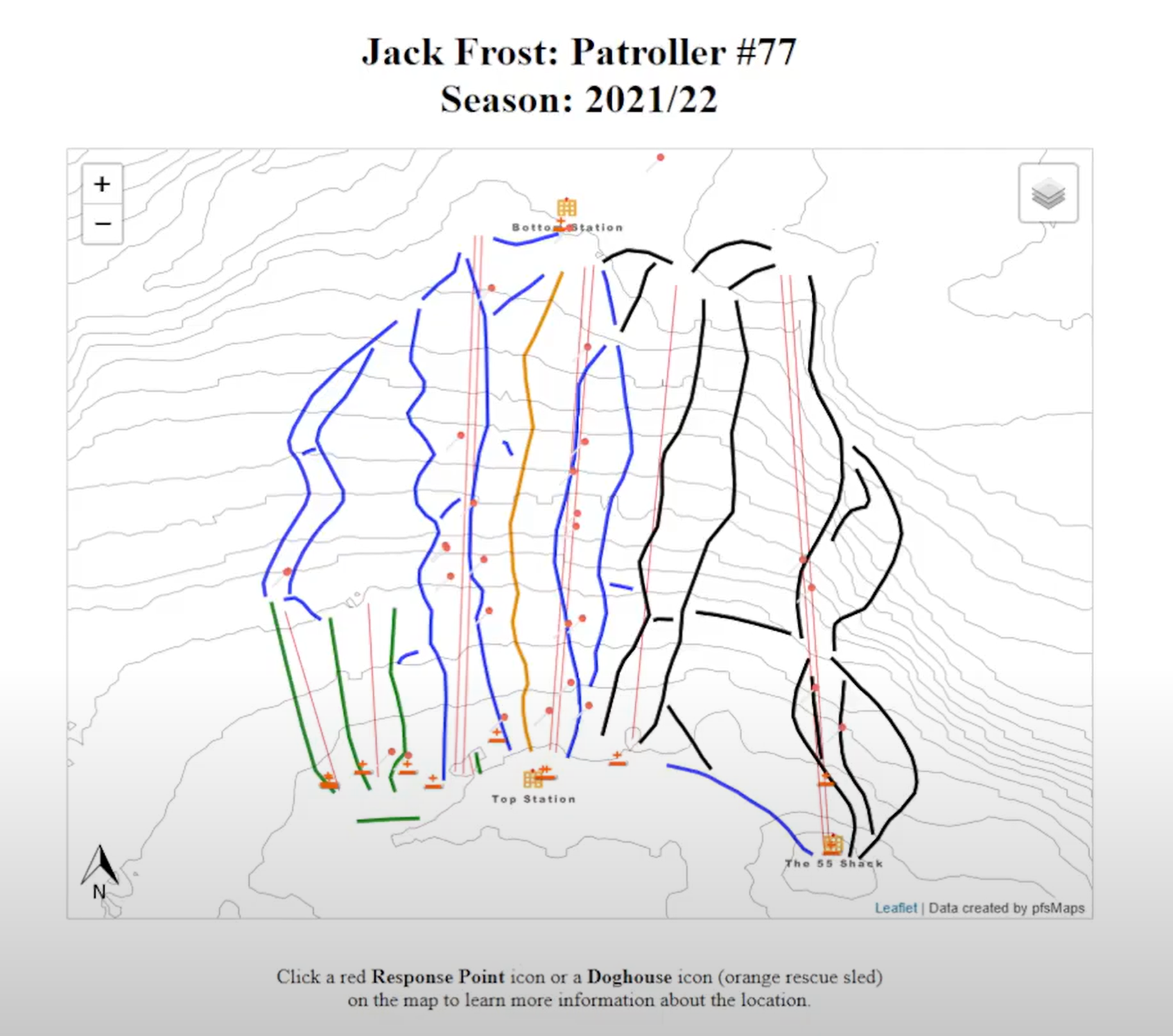
Ski Patroller Response Tracking Web App (Demo Video)

Using Python 3 for creating geospatial tools and geoprocessing tasks (GitHub page)
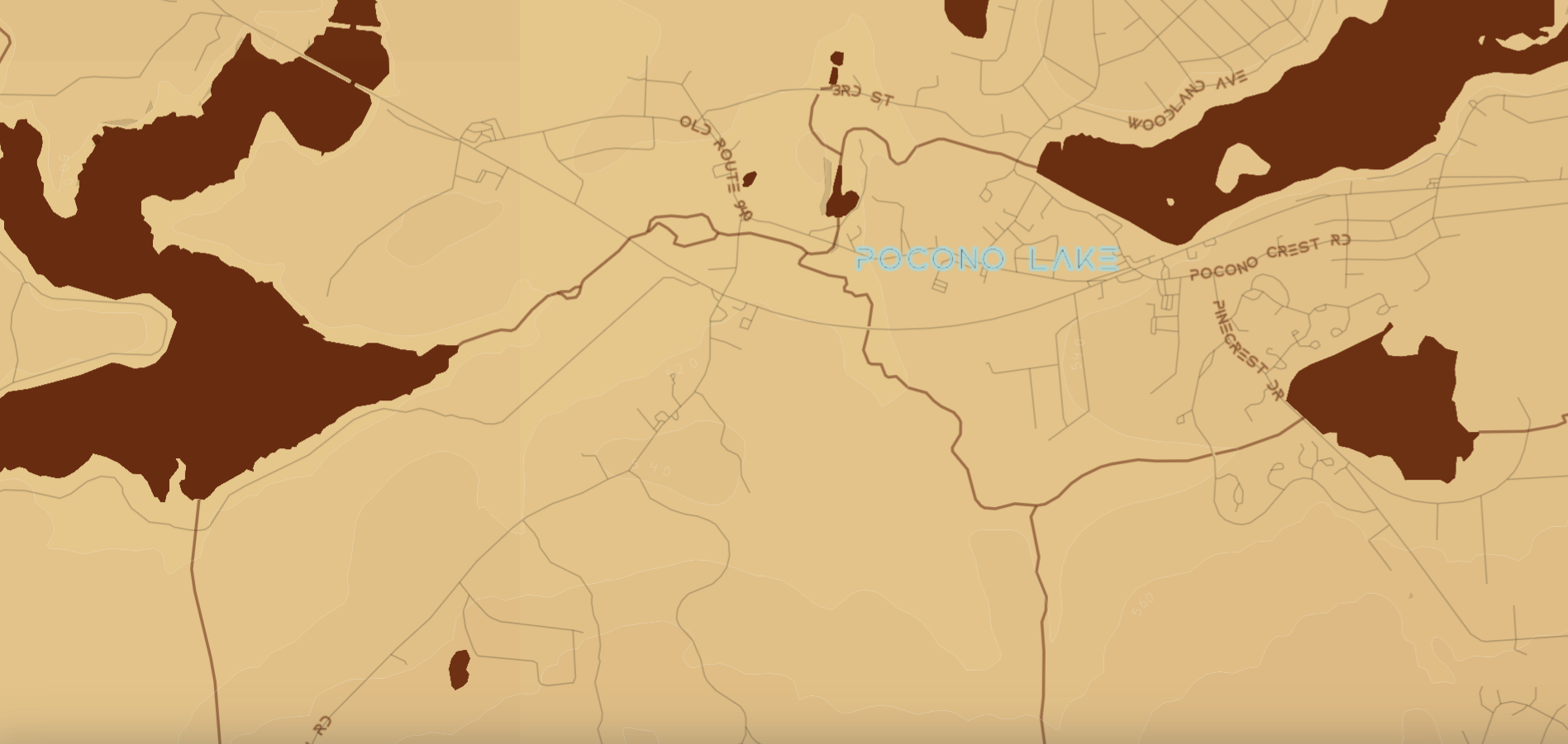
Basemap in the theme of the book/movie Dune, created using Mapbox Studio
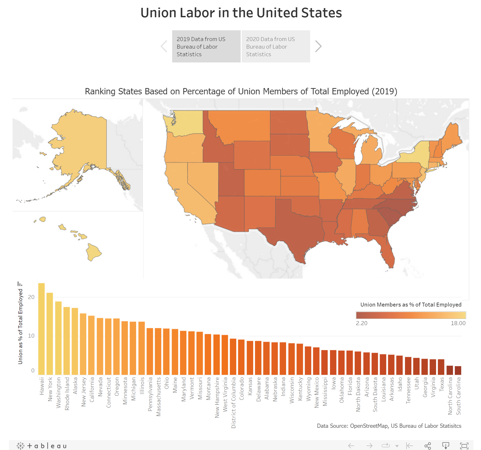
Web App comparing organized labor in the US between 2019 and 2020, created using Tableau
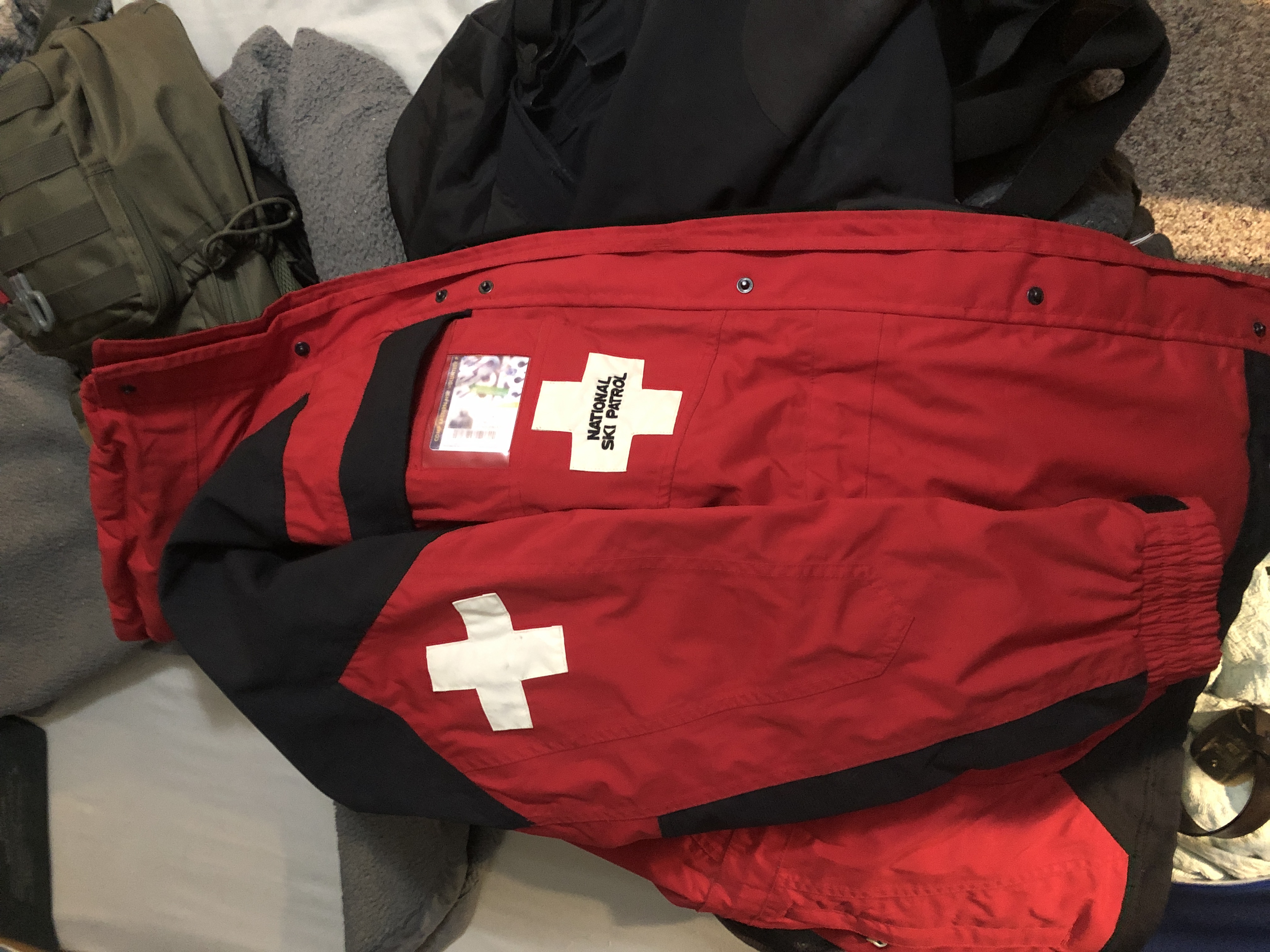
Prepared to provide first response care to any outdoor emergency
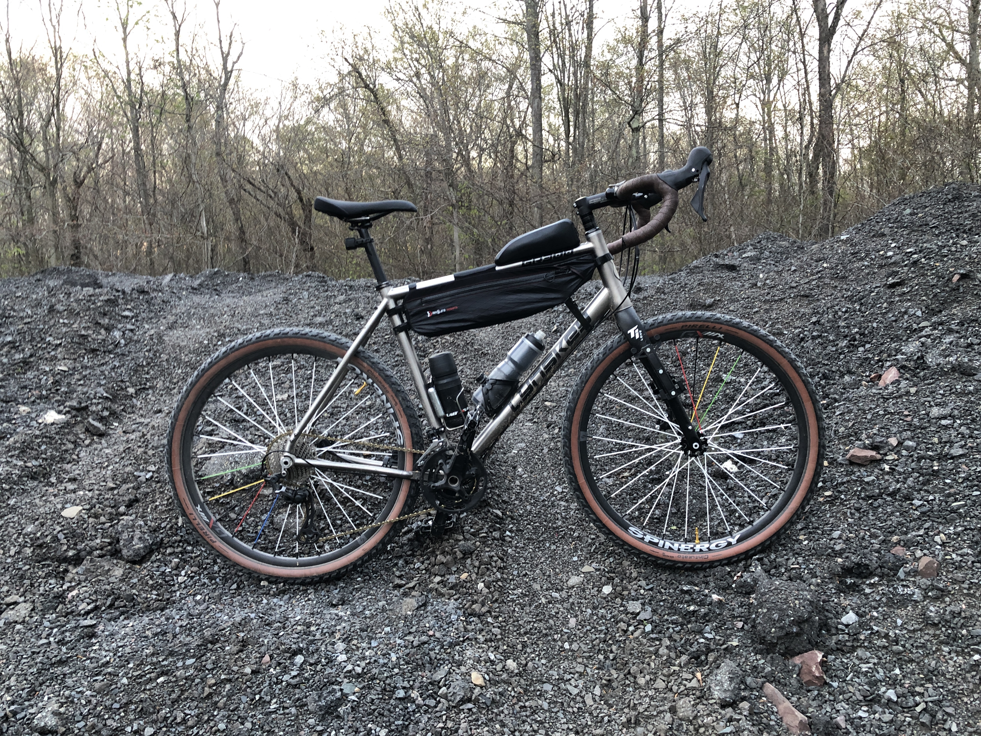
Where the rubber meets to road: one of the best ways to travel