Cartography
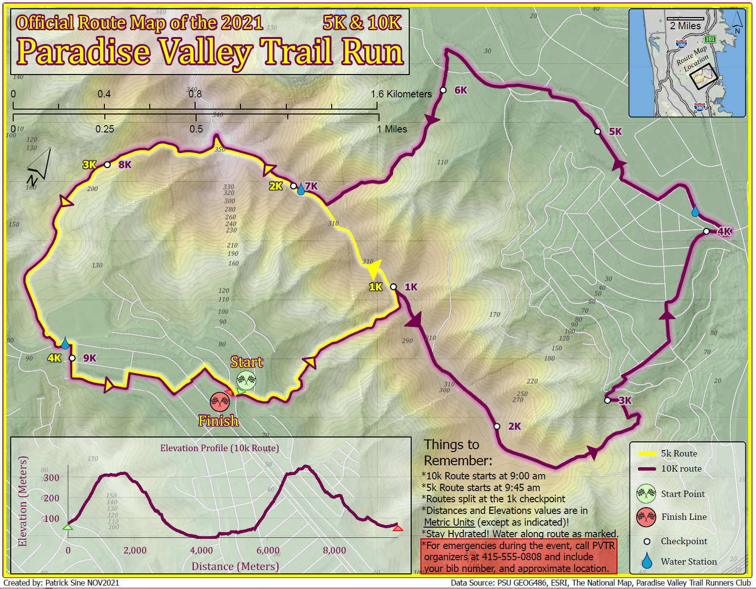
This map was created in ArcPro as a route map for a hypothetical trail run located in the San Fransisco Bay Area. It is meant to demonstrate the creation of an easy-to-read map with good visual hierarchy, creation of terrain basemaps, routing information, and includes various inset marginalia for additional runner info.

These maps were created in ArcPro as a case study in visualizing the effects of data scale on reading of the maps' data and symbology.
This map was created in ArcPro as an excercise in visual heirarchy, using the Maplex labeling engine, and general page layout. It shows the town of Port Arthur, Louisiana as one might see used in print media for tourism or travel use.
These maps were created in ArcPro as an excercise in showing bivariate symbology and choropleth classification. They were used in a report to comapre the global distribtuion of social support with three other variables; healthy life expextancy, freedom to make life choices, and GDP per capita.