These web apps were built using ESRI JavaScript API v4.3

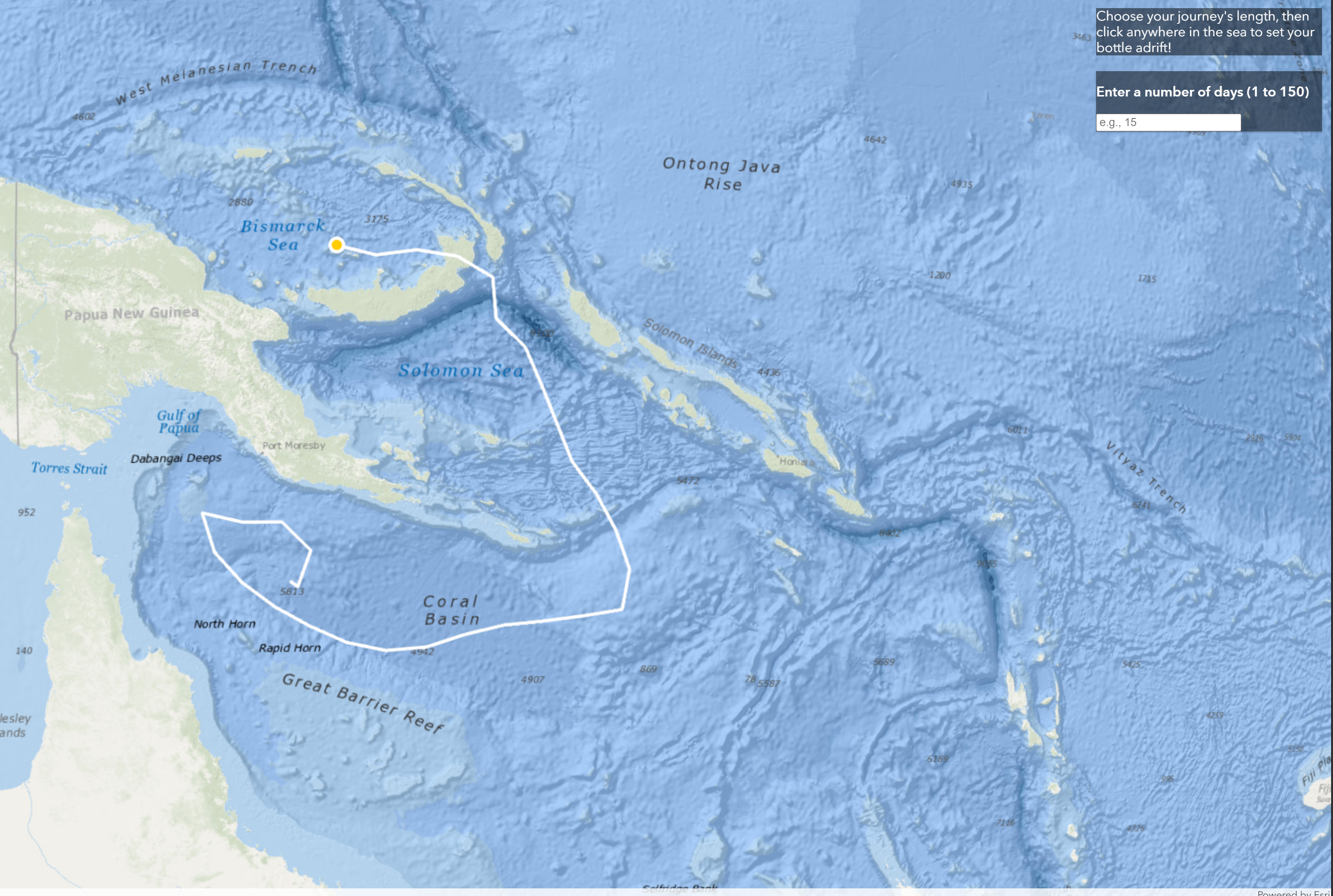
Message in a Bottle
This app uses an ESRI geoprocessing request to allow a user to indicate a number of days and then cast their bottle adrift by clicking anywhere in the sea. Shortly after a float path will be drawn to show the user where their bottle ended up. (Note: The ESRI service this app uses experiences random downtime, if not working simply refresh the page or try again later.)

Wildfires Selected by Year
Input a year in the indicated range to view shapefiles for every fire recorded that year. Click on any fire for more information.

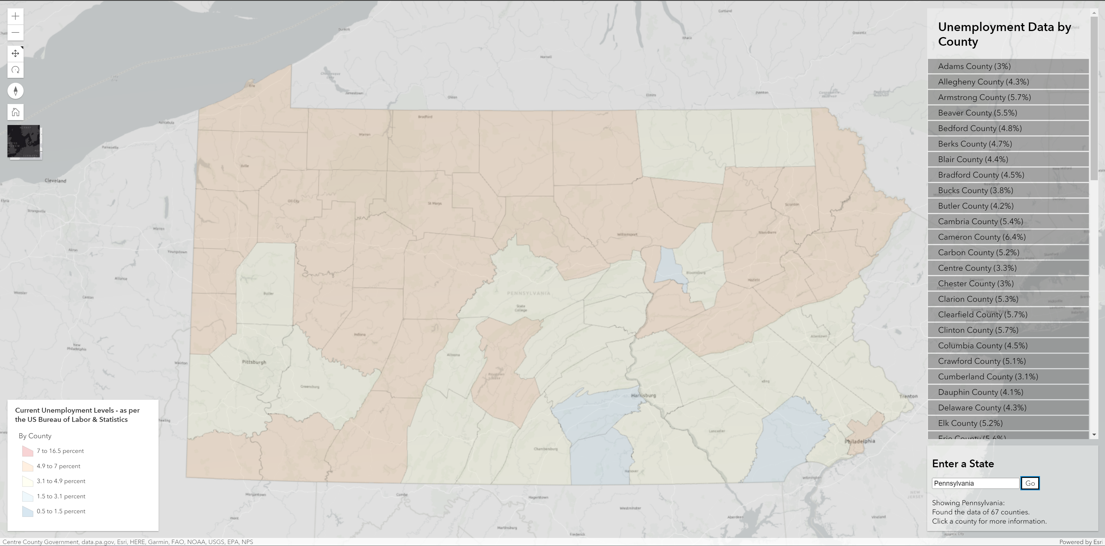
National Unemployment Dashboard
A dashboard pulling its data from a regularly-updated Bureau of Labor Statistics webservice. Allows a user to input a state and have a view extent and list of the unemployment in that state, shown by county. Click any county name or shape to see a popup with more information.
