These maps and apps were built using the various tools available on the ESRI ArcOnline platform.

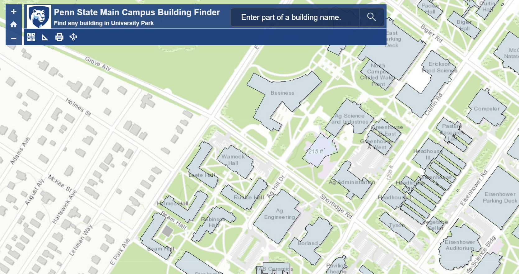
PSU Main Campus Building Finder
This app searches for, and displays buildings matching any name fragments as input by the user.

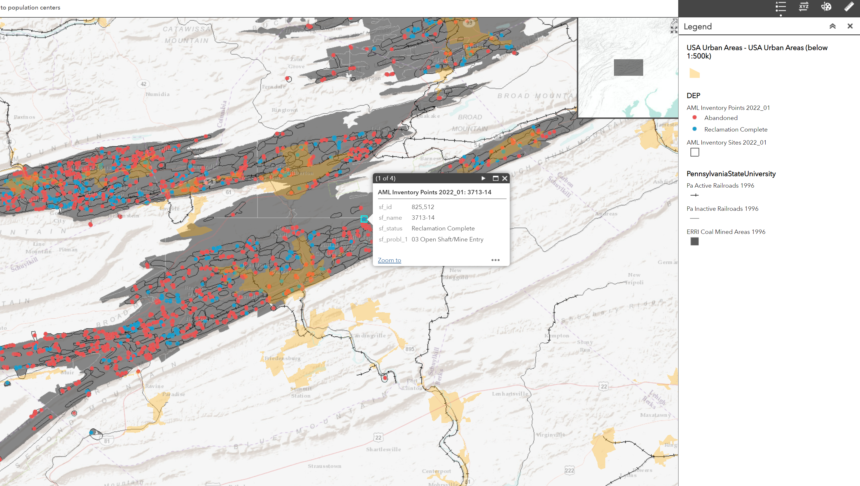
PA Coal Extraction (Until '96)
This map shows coal mined areas, individual coal mines, and how they connect to PA's population centers via railroad. Current state of mine remediation is indicated through symbology, and additional information can be seen in a popup when clicking any mine site.

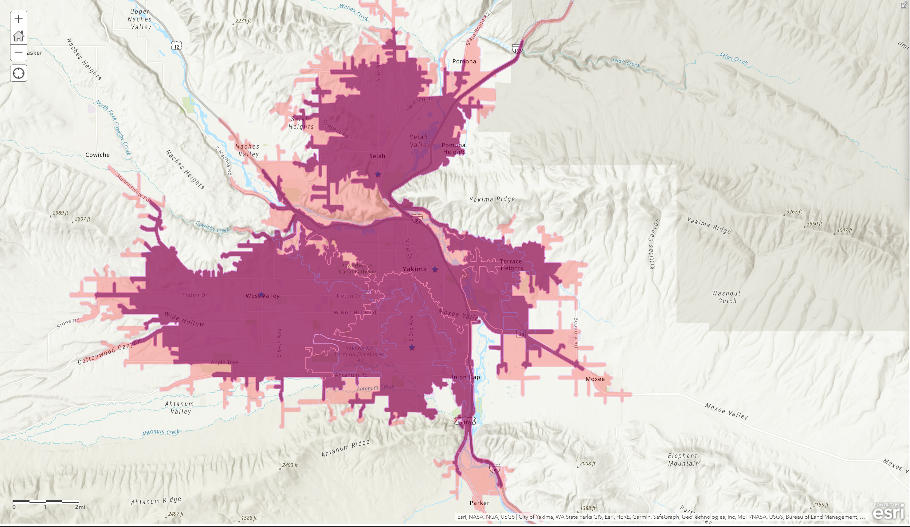
Delivery Analysis Map
This map was made from layers created by using drive time distance buffers and enrichment data from ESRI online. It was used in a case study to determine which of four hypothetical restaurants should be closed.
